
Remote Pilot Certificate
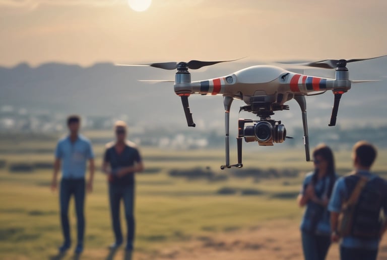
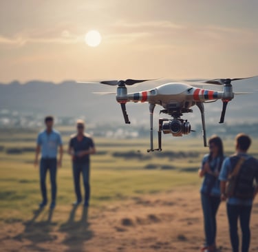
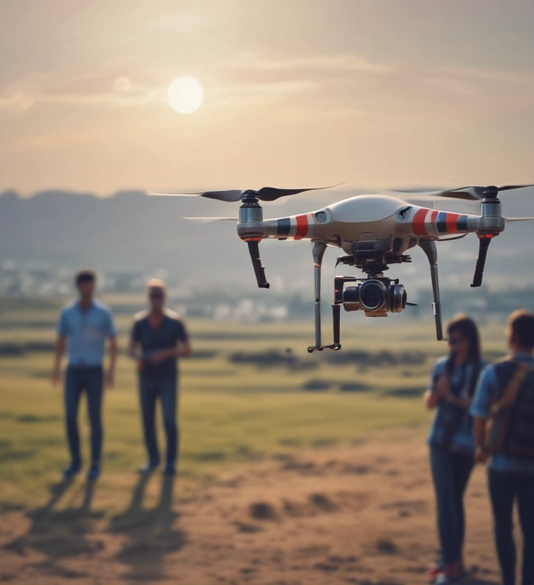
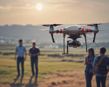
Drone Pilot Training
Transform your love for drone technology into a truly rewarding and fulfilling career. Our comprehensive training program offers a clear, guided pathway for aspiring pilots to master the skies with confidence and expertise. Under the mentorship of DGCA-certified instructors, you will gain not only the theoretical depth but also invaluable practical flight experience required to excel in today’s competitive market. With drone applications expanding rapidly across every sector in India, from agriculture to delivery services, there has never been a better time to get certified. Join us today to gain the essential skills, confidence, and certification necessary to become a leading figure in the reputable unmanned aviation space, where your future opportunities abound and sky's the limit.
Your Journey to Becoming a Drone Pilot Starts Here
Eligibility:
To do a remote pilot course and become a certified drone pilot, one must meet the following criteria:
Qualification: One should have at least passed the 10th Class or equivalent from a recognized board or University.
Age: A person should be between 18 and 65 years old to pursue a drone pilot course.
Must have: An applicant should always possess Aadhaar, a Valid passport, Driving Licence/ Voter ID/Ration Card.
Duration:
The remote pilot course is a 5-day intensive training program that includes:
Ground Training
Simulator Training
Practical Training
After successful completion of the course, people obtain their DGCA remote pilot certificate.
Syllabus:
The program provides theoretical knowledge and practical experience. Topics include:
Drone Flight Rules
Drone Aerodynamics
Navigation and Communication
Weather and Meteorology for Drones
Simulated and Real-Time Flying
Day 1 - Registration & Theory
Registration - 15 minutes
Stakeholders & their laws - 1:30 hours.
Basic Flight Principles - 1 hour
ATC Procedures & Radio Telephony – 1 hour
Fixed-wing Operations and Aerodynamics - 01:30 hours
Rotorcraft Operations and Aerodynamics - 01:30 hours
Hybrid Operations and Aerodynamics - 30 minutes
Day 2 - Theory Sessions
Question and Answers- 30 minutes
Weather and Meteorology - 1:15 hours
Drone Equipment Maintenance - 1:30 hours
Risk Assessment & Analysis - 1:30 hours
Payload, Installation and Utilization - 1:15 hours
Intro to Drone Data & Analysis - 1:30 hours
Information about Flying & Sim Training Schedule
Day 3 - Ground & Simulator Training Session
Theory Test - 40 minutes
Simulator Training Session - 3 hours
Introduction to Flight Simulator
Sim Familiarization Controls Check
Pre-Flight Checks Take Off Hover Cruise
Approach Go Around & Landing Post Flight Checks
Cruise & Turns Climbing and Climbing Turns
Descend & Descending Turn
Disorientation & Recovery
Circuit Flying - Rectangle/Square/Circle / Orbit Flying - Figure Of 8
Gimbal Control
Night Flying
Abnormal/Emergency Procedures
Simulator Test
Basic Maintenance and Assembling - 2 hours.
Identification of drone parts
Assembling and disassembling
Minor maintenance & handling
Ground control station training
Flight logging & documentation etc.
Days 4 & 5 - Drone Flying Training Sessions
Practical Drone Flying Training Session - 4:30 hours.
Intro To Digital Sky Platform
RPAS Familiarization & Safety Briefing
Introductory Flight Where The
Take–Off Climbing Descending and Maintaining Height
Basic Controls Pitch, Roll, and Yaw
Disorientation & Recovery
Level Turns in Both Directions
Progress Check – Multirotor
Climbing And Descending Turns
Left And Right Square Circuits
Flying In Circles
Flying In a Figure 8
Mission Planning & Instrument Flying
Auto Mission & Flight
Night Flying
Abnormal/Emergency Procedures
Final Test – Rotorcraft
Day-Wise Training Breakdown
Drone Services
Precision aerial solutions tailored for your needs, from weddings to agriculture.
Aerial Videography


Cinematic shots for events and films that truly capture the moment.


Precision Agriculture
Monitoring crops and soil to enhance growth and yield effectively.
Using thermal imaging for search and rescue and tracking environmental change.
Safety & Surveying


Earn
Turn your drone skills into income across diverse fields.


Our Work
Showcasing drone projects transforming industries.


Aerial Films
Cinematic shots that tell your story from above.


Crop Health
Monitoring fields to boost farm productivity.
Our Flights
Snapshots from sky-high moments and precise surveys.


